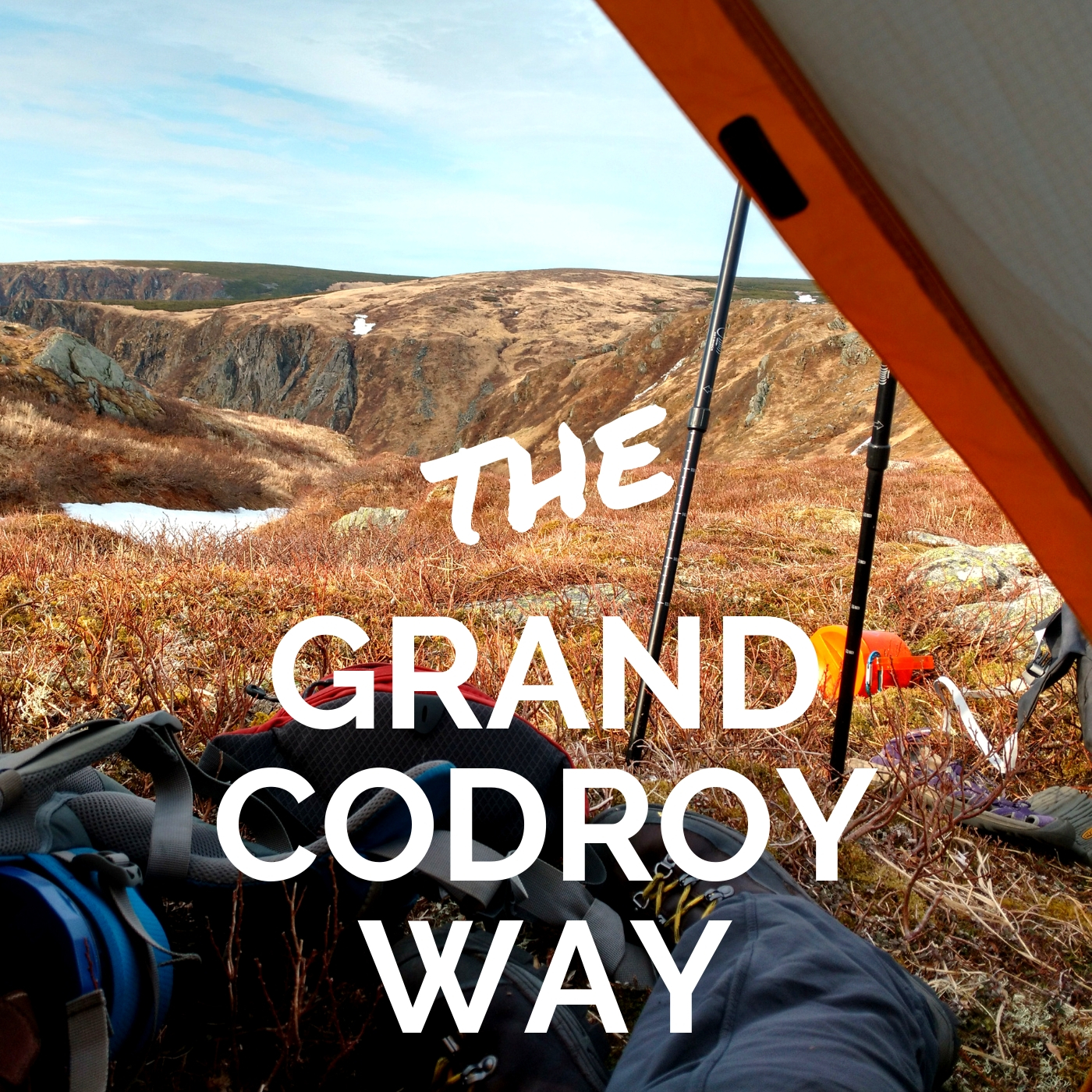
Most tourists go straight to Gros Morne National Park for hiking. Thus leaving other areas often overlooked and quiet. Which is also what I long for since it turns hiking into a meditative like experience. This spring I had the opportunity to do a multi-day traverse from the South of Newfoundland near Port-aux-Basques up to the Blow Me Down mountains near Corner Brook while following the International Appalachian Trail of Newfoundland (IATNL). The first mountains along this trek were part of the Long Range and this is were I was blown away by the landscape. I have hiked and guided in many parts of the world and the Grand Codroy Way lands a place in my top best hikes.
Access Points for the Grand Codroy Way
Via Table Mountain trail

There are two ways to access the Grand Codroy Way. The southernmost one can be found along the access road to the top of Table Mountain where a tower is also located. In order to get there follow the Trans Canada Highway 17 kms North of Port aux Basques, drive a few meters pass the turn off to Cape Ray and turn right (East) on the dirt road. Park at the bottom but make sure your vehicle is off to the side and start hiking up.
Via Starlight trail

On the other end of the Grand Codroy Way you can drive 3 kilometers South of Tompkins, still along the Trans-Canada Highway. A sign for the Starlight trail will be located on the left (East) side where there is an old parking lot. The trail starts at the gazebo.
Grand Codroy Way description
Starlight trail
Distance: 3km linear trail (6km roundtrip)
The trail starts into a birch forest with many viewpoints along the way. Then the ascent quickly progresses through short spruce shrubs before reaching the open plateau. At this point you can follow the trail on the right or leave the beaten trail and head up to the left onto the Grand Codroy Way. Follow the Starlight trail uphill towards an incredible view. Below stands Campbells pond and the steep cliffs marking the edge of the Long Range mountains, part of the Appalachians. Also a great vantage point for the whole Codroy valley and the Gulf of St. Lawrence.
Table Mountain trail
Distance: 5km linear trail (10km roundtrip)
This trail follows a dirt road which leads to a communication tower. From the base you can follow with your eyes the wavy line that leads to the back end of the ravine. The smooth climb will lead you to about 425m where stunning views will make the ascent well worth it. On a clear day you can see Cape Breton Island in the distance. The Grand Codroy Way starts on the right along the dirt road once you reach the top before the tower.
Grand Codroy Way
Distance: 32km linear backcountry route (2 days)
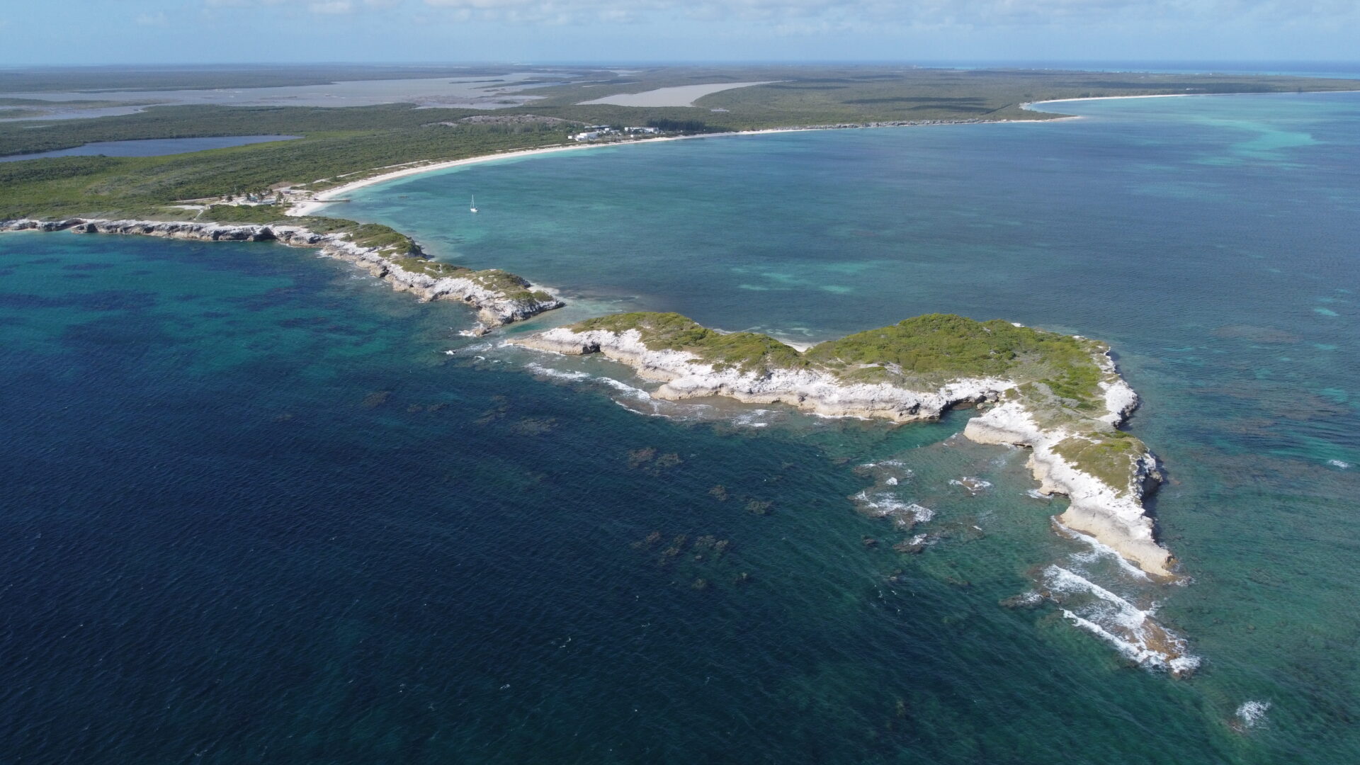
Make sure to bring your compass, GPS and topographic map as this is a backcountry route and NOT A MARKED TRAIL. The Grand Codroy Way follows the cliff edge of the Long Range mountains with sweeping views of the coastline and Codroy Valley. As you hike along this dramatic landscape keep your eyes open for caribou and ptarmigan. One of the most impressive area is the Trainvain valley which offers breathtaking sunsets. Although these barrens landscapes are really windy the scenery makes it all worthwhile.

Pack your backpack and get out on the trails!
Alex
Live Wildly Intrepid!
Carpe Diem
2 thoughts on “Grand Codroy Way: Starlight trail & Table Mountain”
Hello, is there a trail leading from the starlite trail to Table mountain and come down cape ray.
Hi Basil, Yes there is a trail going up the Starlite trail (on the East side of the highway just South of Tompkins). Then it’s all map and compass following the edges of any ravines. You will then reach the dirt road that leads up to the tower on top of Table Mountain. Afterwards just follow that road down up until you reach the TCH. It’s a beautiful traverse part of the IATNL.