

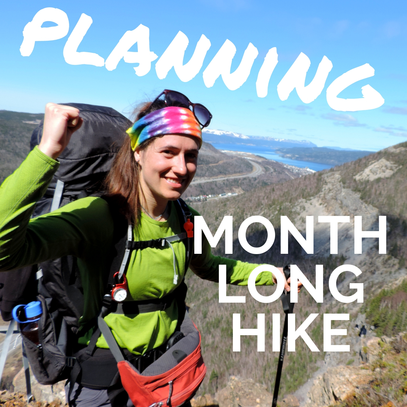
It’s the time of the year that everyone seems to be coming out of hibernation. After the frigid winter months and snow, the first rays of sun and warmth draws you to the outdoors. I enjoy snowboarding in the winter, however there’s nothing like being able to walk out without jackets and in your bare feet. The soft feel of grass in between your toes is pure joy to me. All that being said, winter is a great season to do all the planning for a month long hike.
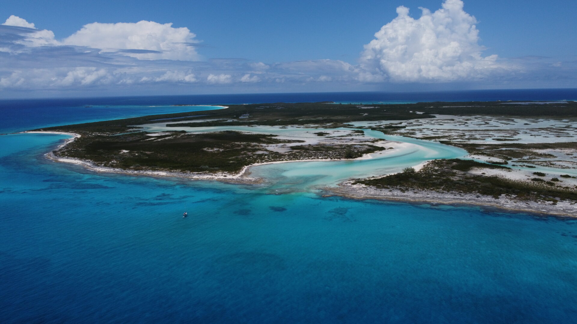
Over the past few months I have been doing a lot of research and planning to help me hike from Port aux Basques in the South of Newfoundland up to Portland Creek on the Northern Peninsula. A total of about 534 kms with probably some extra for wandering around viewpoints or getting geographically misplaced. Following the Long Range Mountains which is a part of the old Appalachian mountains along the IATNL (www.iatnl.com) will be quite the solo adventure.
Where to start when planning a hike? I usually use the following 5 main points:
1. Choosing your destination

That’s the exciting part. Where do you want to go? Do you want to stick around your area or do you want to go abroad? Remember that the further away you go, the more logistics. Choosing a destination that you or friends are familiar with will facilitate the planning and make you more confident. On the other hand, a foreign destination offers new sights. Nowadays, with internet it is easy to access information about a variety of multi-day hikes; from the Appalachian Trail to Santiago de Compostela to the Pacific Crest Trail. Sky is the limit. But choose well because you will be hiking for a LONG time on that specific trail. Also keep in mind your abilities and skills.
2. Route planning/ Emergency Plan

Probably one of the most important part of planning a hike, the key to success is to create a “Route Plan”. This should include your itinerary with camping spots and emergency contact information and plan. Certain trails already have details about their; distance, elevation gain/loss, estimated travel time, terrain type, permits required, food drop spots and much more. Other trails have barely no information and you will need to purchase topographic maps and talk with locals.
Keep in mind you average hiking speed on flat terrain which tends to be 5 to 6 km/h. For uneven terrain it may drop to 4km/h, rock scramble and marsh might be 3km/h and it may go as low as 1.5 km/h in sand or thick trees. Also, for every 300 meter of elevation add a half hour. Those average speeds will vary depending on every individual but will be highly valuable for planning the amount of time allocated to cover certain distances.
If plan to hike in an area where there is no trail make sure that you have good map and compass skills. Practice makes perfection, or almost! And above all don’t forget to adjust the declination of your compass depending on your location. A single degree may mean kilometers off track in the mountains.
Create a good emergency plan; exit routes, communication devices, emergency contact numbers and think about the injuries that may happen and what to do. Make sure you leave a copy of your “Route Plan” with a family member and friend.
3. Permits, making reservations and food drops

If you are hiking through National Parks you may need to book ahead campsites, boats or back country permits. All that information is typically easy to find online or simply by calling. Some trails require boat access. Ensure that you have made reservations if needed and keep in mind that high wind or swell may affect its operations. You also may want to consider having a friend dropping you off at your starting point. Another option would be to arrange a shuttle and leave your car at the end point of your hike. Public transportation might simplify it.
If you are hiking for over a week you will need to arrange food drop offs. There are a few options for this. If your hike meets up with towns you can probably leave a food box at a store or simply replenish at the grocery store. If your whole hike is in the back country you might need a helicopter or quad to drop it off for you. Certain long distance hikes such as the Appalachian trail even have information about where to leave or send your food box to.
4. Meal planning

Time to have fun. First off, how many calories do you usually eat in the span of a day? There are many online tools to help you estimate how many calories you will be burning while hiking with a heavy backpack. An average weight of food needed per day will be 1.5 to 2 pounds. In colder weather it could go up to 2.5 pounds per day.
Find meals that you enjoy and dehydrate them if you have the time. Plan meals that you would eat even at home because there’s nothing like a good warm meal at the end of a long rainy day. Furthermore you should pack some emergency food, just in case that you are stuck in your tent for longer than expected.
5. Testing the equipment

Has anyone seen the movie “Wild”? Remember the “monster”, her backpack? Well, lets try not to recreate this. If you are buying new gear go test it out in the woods prior to leaving. Or set up your tent in the backyard and make sure you have all the poles. Test your hiking boots, blisters are a hiker’s nightmare. Learn how to use your stove. Trust me it’ll pay off to know how to use your gear, especially if you have to quickly set up a tent in high winds and rain.
6. Staying in shape

After a long winter spent inside or work in an office make sure you get regular exercise. Do some yoga or pilates and go jogging few times a week. Also try to get out for some hiking on the weekends. It’ll keep your body in good shape and will prevent injuries on the trails.
The best thing about all that planning is that once on the trail you know the only thing left to do is to hike safe and ENJOY the outdoors. It makes you more confident that you’ve got it all covered, although even with a plan A, B, C there’s always the potential for needing a plan D or E.
DON’T FORGET to leave you Route Plan with a family member or a friend and to explain everything to them. They have to know what to do in case of an emergency.
Live Wildy Intrepid
Carpe Diem!
Alex