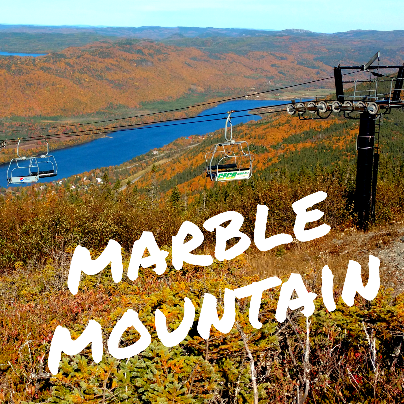
Many people have probably heard of Marble Mountain as an incredible ski destination without lift lines. Although it offers some of the best skiing East of the Rockies. It also has great hiking in the summer. While sunsets are simply spectacular as they dip down into the Bay of Islands on the West coast Newfoundland, star gazing during the Perseid meteor showers is magical.
Access Points for Marble Mountain hiking trail
Marble mountain ski hill is located on the West coast of Newfoundland along the Trans-Canada highway at Exit 8. Plus it is a short 5 minute drive from Corner Brook. There are two main parking lots;
Marble Mountain parking lot: right next to the ski lodge there is plenty of parking space.
Parking lot behind Georges ski world and Tim Hortons: follow Thistle Drive until you see a Steady Brook falls sign on the right. The parking lot can be a little bumpy. Also make sure you park out of the way without blocking anyone. DO NOT drive up the hill.
Marble Mountain hiking trail description
Distance: about 5 km linear trail (round-trip)
In order to reach the summit (546 meters) of Mount Musgrave, aka “Marble Mountain” one can choose to hike up any of the ski runs. But keep in mind that some will be steep and involve breaking into a good sweat. Visit the administration office in the ski lodge to receive a trail map and hiking directions. Thus if you want to enjoy the scenery along the way while hiking to the top of Marble Mountain easily choose one of the 2 easier routes up.

East side via Country Road and Upalong:
This is the beginner’s run in the winter time and has a gentle incline. Follow the Steady Brook falls hiking trail and once you reach a little cabin at the top make sure to stay on the right road (there is usually a closed gate). This is also the road to the weather station which is located at the very summit. When you reach the top of the Black Mariah chairlift the name switches to “Upalong”. At the second chairlift (Lightning Express) you can follow the road up to Environment Canada doppler weather radar station which looks like a soccer ball.
 West side via Marble Chute, Hansen’s Run, Chilliwack and Crooked Feeder:
Some of the runs are a bit more challenging. However the views on the way up are breathtaking. The Humber River, Steady Brook and the ski lodge are never far from sight. Don’t forget to look back.
From the summit a 360 degree view of Steady Brook, the Humber River, North Arm hills, Bay of Islands, Corner Brook and Blow Me Down mountains will reward the hiker. Furthermore keep your eyes open for moose, caribous and rock ptarmigans out in the barrens.

Don’t miss the Heritage tree at the base of Marble Mountain. Also check out Steady Brook Falls easily accessed from behind the gas station and Tim Hortons. It showcases 60 scenes from Newfoundland’s history. Purchase my hiking guide “Hikes of Western Newfoundland” for more details and many more trails by clicking here.
Live Wildly Intrepid!
Carpe Diem
Alex




 West side via Marble Chute, Hansen’s Run, Chilliwack and Crooked Feeder: