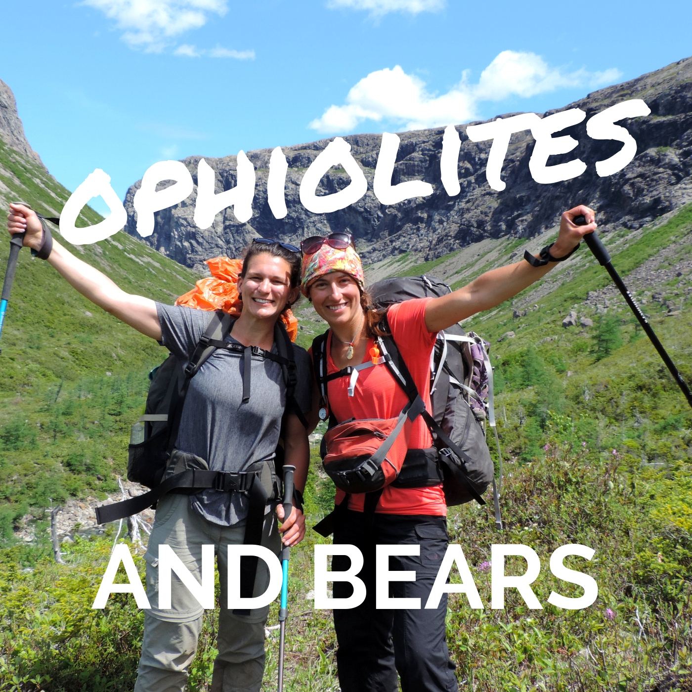
Finally, I was heading back into the Lewis Hills and Blow Me Down mountains on June 23rd. The fog cut short my previous attempt but opened up this window of 4 stunning days of sun and highs of 26 degrees. “Everything happens for a reason”, so they say. However, this time I had a friend (Keri Bowering) to join my crazy adventure through the ophiolites, a section of the oceanic crust that has been exposed.

We hiked in from the Cold Brook road and less than an hour later we were stripping off as sweat rolled down my forehead. The slightly warmer Fox Island River was almost 2 feet lower than last time, an easy crossing. Snow had melted at a phenomenal rate since May 31st. I would highly recommend to anyone hiking through the IATNL to wait out for the snow melt as river crossings become less challenging. Going up the gulch was simply stunning with a landscape of ophiolites, red orange rocks called peridotite surrounded us as if in flame.


A herd of caribous greeted us as we reached the top. Young calves were running in all direction across one of the last snow patch, a magical sight. From the Cabox, which is the highest point of Newfoundland (814m), a 360 view of the surrounding hills and the Port au Port peninsula unveiled itself. Butterflies were flying effortlessly, a unusual sight in this wind swept and gusty terrain.

We filtered so much water that day as the sun painted my legs to a bright red. We kept on hiking through the ophiolites, marsh and streams. The constantly changing landscape lead us to Molly Ann gulch. Lush, green, cliffs and waterfalls had us in awe. We sat in silence, hypnotized by the scenery.

Rain in the distance, clouds rolling in and a couple of loud greater yellowleg birds pushed us forward to Rope Cove Canyon. We found a little stream nestled between the orange peridotite rocks which would be our perfect campsite water source. Rested after some sunset yoga we dozed off quickly.

Fog was rolling in from Rope Cove Canyon and up the opposite valley. Hidden in the tent with our breakfast we watched the fog envelop us as water droplets hit the fly . Hanging ponds and ophiolite ravines lead us to Serpentine Lake. More river crossings, 4 this time. If you ever hike this part of the IATNL ensure that you walk in the lake and not in the brooks as they tend to be deeper.

After a beef curry and some skinny dipping we sat peacefully around our campfire. Not long after sunset we heard some close by cracking. Some big creature was roaming the woods, maybe a moose or a black bear. Our loud noise and yelling didn’t even frighten it as it walked right behind our tent. We quickly packed up the rest of our food in a drybag and I set off to climb a tree to tie it up. “I think I saw some eyes.” said Keri from below. I climbed down hastily, grabbed my bear spray and hiking pole (I could turn it into a spear) and looked into the direction Keri was pointing at. There stared back 2 round glowing eyes.
A second later it growled and stomped to the ground. Shaking we jumped and ran to the campfire, threw a bunch more branches into it and set off a bear banger. Success, it left us alone for an hour or so. As the fire started dying and we were heading to the tent it came back. At that point I was convinced it was a bear. More branches were thrown into the fire and another bear banger was set off. I felt like prey, highly vulnerable with the fire being our safety. By 3:30am we hadn’t heard anything in over an hour so we decided to try to get some sleep, we were both exhausted from a long day of hiking and feeding our campfire. It didn’t come back and the sun finally rose.

What a long night. With less than 4 hours of sleep we decided to still keep pushing forward and to ascend Simms gulch to reach the Blow Me Down mountains. Some big and small bear footprints got our heart racing as we realized we were probably in a mother and cub’s territory. We later found out that bears have been fed close to the IATNL sign by the lake for over 15 years. As we flew through the trail until Simms gulch materialized itself. At last we could let our guard down as we cooled our feet in the brook.

Simms gulch is one of the most spectacular landscape in Newfoundland. The first half of it looks like a fjord with steep gabbro (gray) rocks, giant boulders and cascades feeding into gorgeous pools. Suddenly it opens up into a flat river bed of ophiolites nestled in the middle of a ravine. Our echo was bouncing back to us as we made our way up a steep scramble of loose rocks. What a relief it was to summit and look back down. The Lewis Hills stood tall in the distance. At last we fell asleep before the sun could even set, drained from the previous two days.

Another day of sun pulled us out of our comfy sleeping bags. The terrain was bare, flat, rocky and grassy. What a change in scenery. A young playful caribou would trot towards us, race back and show us the way. What a thrill was it to find the trail that would led us down to the Copper Mine parking lot. This shrubby area had an abundance of moose and big ones.

Surprise! Cory and Scott were walking towards us with Tali the husky running ahead. The cold beers were such a refreshment to this 27 degrees day and the fresh cherries and Greek salad were delectable. Content and proud of ourselves we reached the truck. 63 kilometers later we had completed the traverse.
Alex
Live Wildly Intrepid!
Carpe Diem

